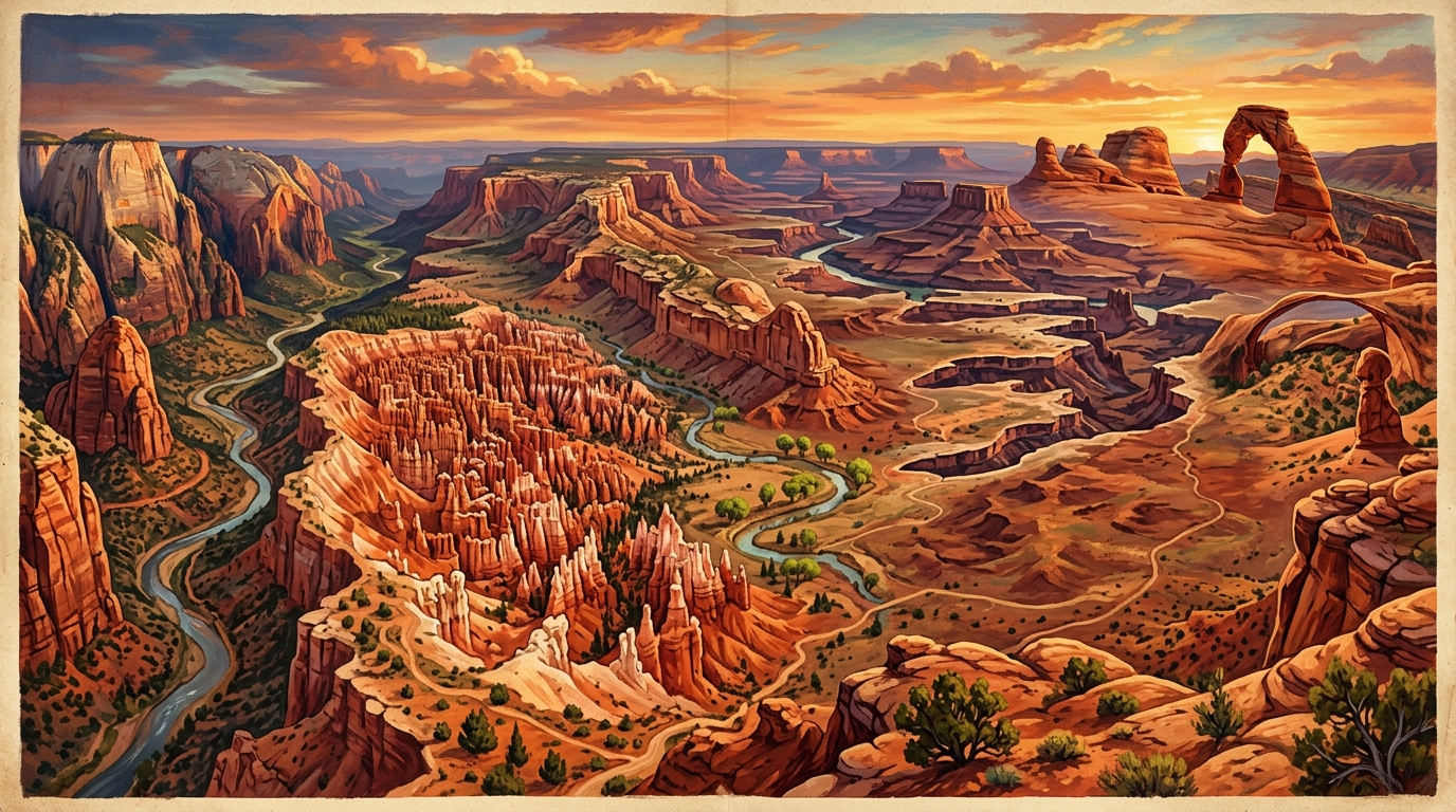
Blue Ridge Parkway Highlights — America's Favorite Drive
An interactive guide to 15 essential stops along the 469-mile Blue Ridge Parkway from Rockfish Gap, Virginia to Cherokee, North Carolina — spanning scenic overlooks, waterfalls, historic sites, and recreation areas.
🏔️ Blue Ridge Parkway Highlights — America's Favorite Drive
469 miles · Virginia to North Carolina · 15 Curated Stops
The Blue Ridge Parkway is one of the most visited units in the U.S. National Park System — a gentle, speed-limited (45 mph) scenic highway threading the spine of the Appalachian Mountains from Rockfish Gap, VA (at the southern end of Shenandoah National Park) all the way to Cherokee, NC (at the entrance to Great Smoky Mountains National Park).
This map compiles 15 essential stops across four categories so you can plan a full-length drive or pick a focused stretch.
🗺️ Open the Map
The map opens directly in any modern browser — no server or API key required.
🧭 Who This Map Is For
- Road trippers driving the full Parkway over 3–7 days
- Weekend day-trippers near Asheville NC, Roanoke VA, or the Shenandoah Valley
- Hikers and waterfall chasers picking target stops along the route
- Anyone seeking fall foliage, spring wildflowers, or rhododendron bloom season
🗂️ Four Categories
| Category | Color | What's Here |
|---|---|---|
| 🔭 Scenic Overlooks | Blue | Panoramic summit views and engineering marvels |
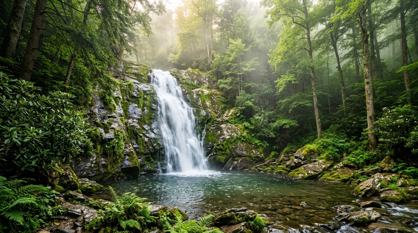
| 💧 Waterfalls & Trails | Green | Accessible waterfall hikes and bloom seasons |
| 🏛️ History & Culture | Amber | Historic mills, music, crafts, and minerals |
| 🏕️ Recreation Areas | Purple | Campgrounds, lakes, cabins, and multi-day hiking |
📍 All 15 Stops
Virginia
| # | Stop | MP | Category |
|---|---|---|---|
| 1 | Humpback Rocks | 5.8 | 🔭 Scenic Overlook |
| 2 | Peaks of Otter | 85.6 | 🏕️ Recreation |
| 3 | Mabry Mill | 176.1 | 🏛️ History & Culture |
| 4 | Blue Ridge Music Center | 213.3 | 🏛️ History & Culture |
North Carolina
| # | Stop | MP | Category |
|---|---|---|---|
| 5 | Doughton Park | 241.0 | 🏕️ Recreation |
| 6 | Moses H. Cone Memorial Park | 294.0 | 🏛️ History & Culture |
| 7 | Julian Price Memorial Park | 297.0 | 🏕️ Recreation |
| 8 | Linn Cove Viaduct | 304.4 | 🔭 Scenic Overlook |
| 9 | Linville Falls | 316.4 | 💧 Waterfalls & Trails |
| 10 | Museum of NC Minerals | 331.0 | 🏛️ History & Culture |
| 11 | Craggy Gardens | 364.1 | 💧 Waterfalls & Trails |
| 12 | Folk Art Center | 382.0 | 🏛️ History & Culture |
| 13 | Blue Ridge Parkway Visitor Center | 384.0 | 🏛️ History & Culture |
| 14 | Mount Pisgah | 407.6 | 🏕️ Recreation |
| 15 | Waterrock Knob | 451.2 | 🔭 Scenic Overlook |
⭐ Top Stops Highlights
Mabry Mill (MP 176) — The most photographed spot on the entire Parkway. A 1910 grist and sawmill beside a reflective pond framed by wildflowers. Go early for the best mirror-still morning light.
Linn Cove Viaduct (MP 304) — One of the most complex bridge structures ever built — 1,243 feet of curved concrete winding around Grandfather Mountain. Drop down the short trail to look up at it from below.
Linville Falls (MP 316) — Arguably the most spectacular waterfall in the Southern Appalachians. Multiple trail options lead to different viewpoints over the gorge. Allow 1–2 hours.
Craggy Gardens (MP 364) — In mid-June, thousands of Catawba rhododendrons explode in purple across the high balds. The timing for this week's visit is near-perfect.
Waterrock Knob (MP 451) — The Parkway's highest visitor facility at 5,820 ft. Arrives 30 min before sunset for spectacular views across four states.
🗓️ Seasonal Notes
| Season | What to Expect |
|---|---|
| Spring (Apr–May) | Wildflowers, dogwood, redbud blooms |
| Early Summer (Jun) | Rhododendron peak at Craggy Gardens; long days |
| Fall (Oct–Nov) | Peak foliage, popular — expect crowds |
| Winter | Some sections close; ice and snow are common above 4,000 ft |
⚠️ Verify Before You Go
- Road closures occur frequently for maintenance, weather, or emergency. Check nps.gov/blri/planyourvisit/road-closures.htm before driving.
- Fuel: There are NO gas stations on the Parkway itself. Fill up in towns before entering.
- Cell service: Spotty to nonexistent for long stretches. Download offline maps.
- Fees: The Parkway itself is free. Some attractions (Grandfather Mountain, nearby state parks) have entry fees.
- Hours: Many facilities are seasonal. Visitor centers, lodges, and campgrounds may be closed outside summer/fall.
- Weather: Conditions at elevation change fast. Fog is common; bring layers even in summer.
Map generated 2026-06-08 · Sources: NPS Blue Ridge Parkway, Visit NC, Virginia Tourism, Virtual Blue Ridge
More from Maps