Columbia River Gorge Waterfall Hikes
An interactive map of 14 waterfalls, overlooks, and one dam visitor center along the Historic Columbia River Highway, from Crown Point to Rowena Crest, with current trail-closure notes for the two spots that keep changing status.
Columbia River Gorge Waterfall Hikes
Open the map: columbia-river-gorge-waterfall-hikes_2026-09-28.html
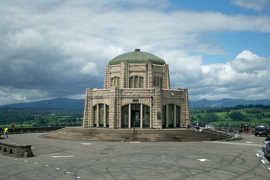
The Columbia River Gorge has more named waterfalls in a 15-mile stretch than almost anywhere else in the country, and most of them sit within a short walk of a parking lot. This map plots 14 stops along the Historic Columbia River Highway and I-84, from the Vista House at Crown Point down to Rowena Crest near The Dalles, where the wet west side of the gorge turns into dry grassland in about a quarter mile.
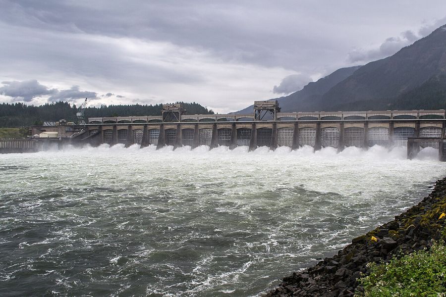
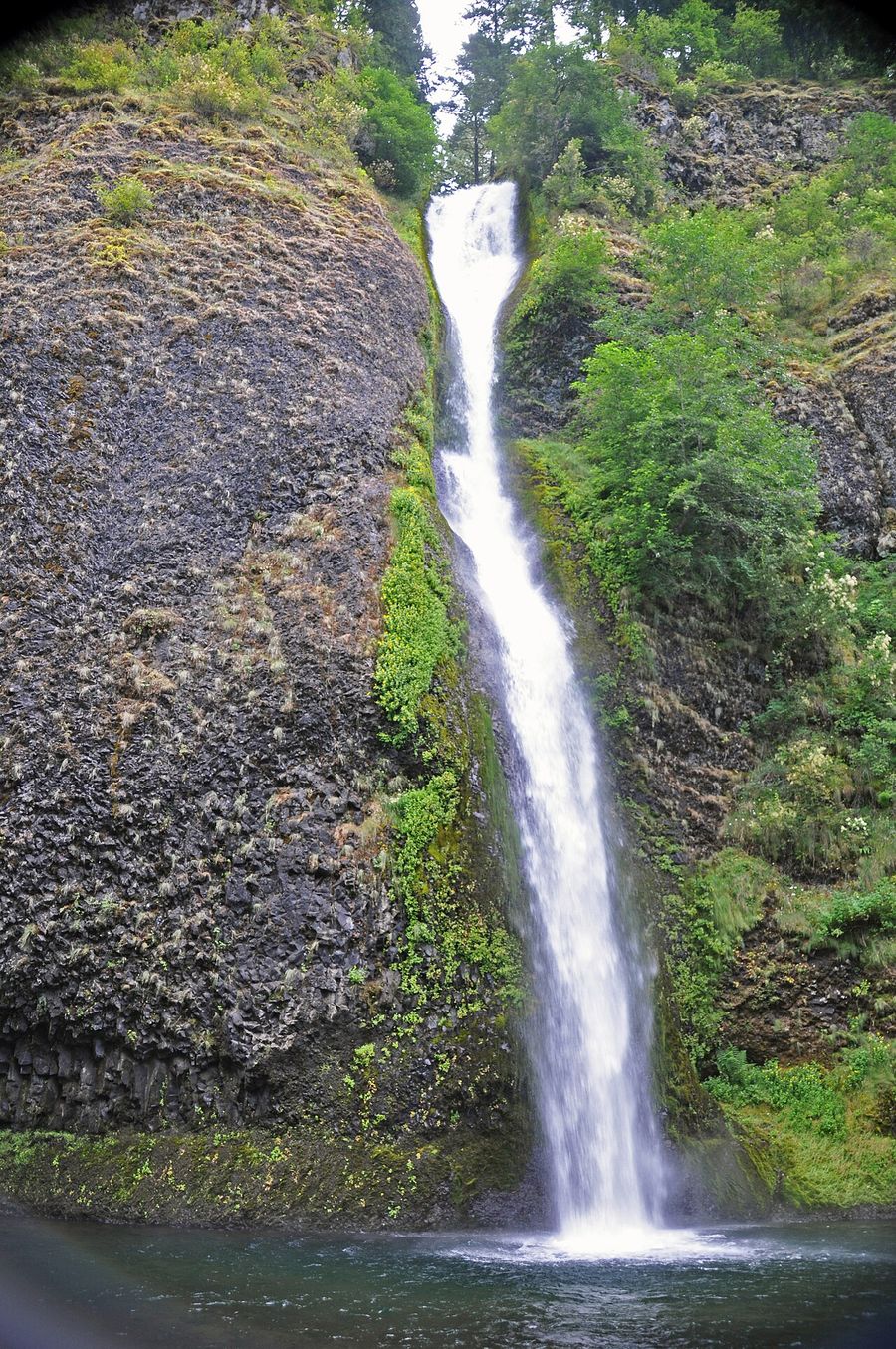
It's built for a one-day loop, not a backpacking trip. Eleven of the fourteen stops are waterfalls you can reach in under a mile of walking; the other three are an overlook, a dam visitor center, and a second overlook at the eastern end. If you only have a few hours, cluster around Multnomah, Wahkeena, and Horsetail Falls — they sit within ten minutes of each other by car. If you have a full day, start at Crown Point in the morning light and work east, ending at Rowena Crest for sunset.
How to use the map
Click any marker for a popup with a photo, a short description of what makes that stop different from the others, a practical tip, and a "Directions" button. The sidebar list on the right shows every stop with a thumbnail — click a thumbnail to open the full photo gallery for that spot, or click the row to fly the map there. Filter by category (Waterfall, Overlook, Visitor Center) using the buttons above the list.
The stops worth planning around
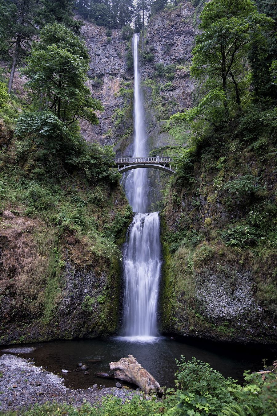
Multnomah Falls is the one everyone's seen a photo of — 620 feet in two tiers, with the 1925 Benson Footbridge crossing 105 feet above the lower drop. It's also the most-visited natural site in the Pacific Northwest, and the Forest Service runs a timed-use vehicle permit at the main Exit 31 lot during peak season. Check current dates on Recreation.gov before you go, or park at the smaller surface-street lot instead.
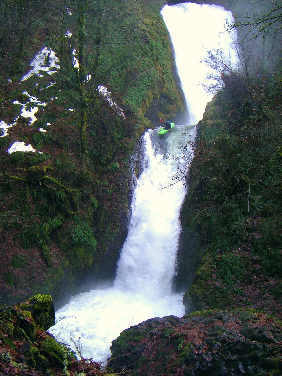
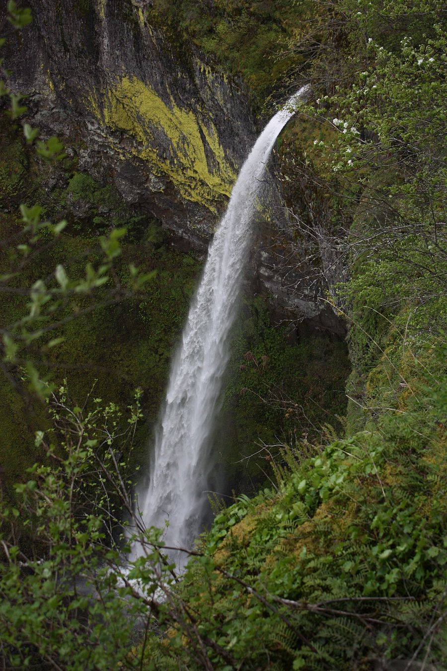
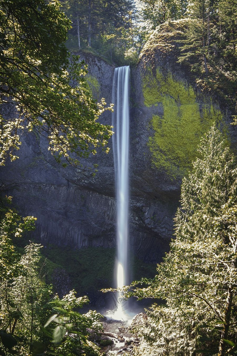
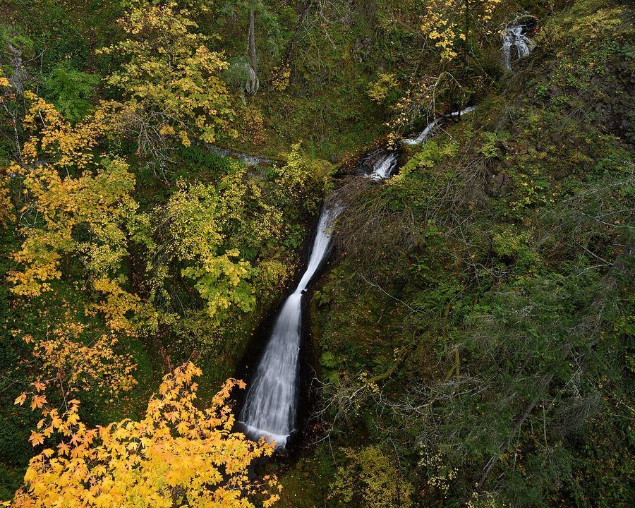
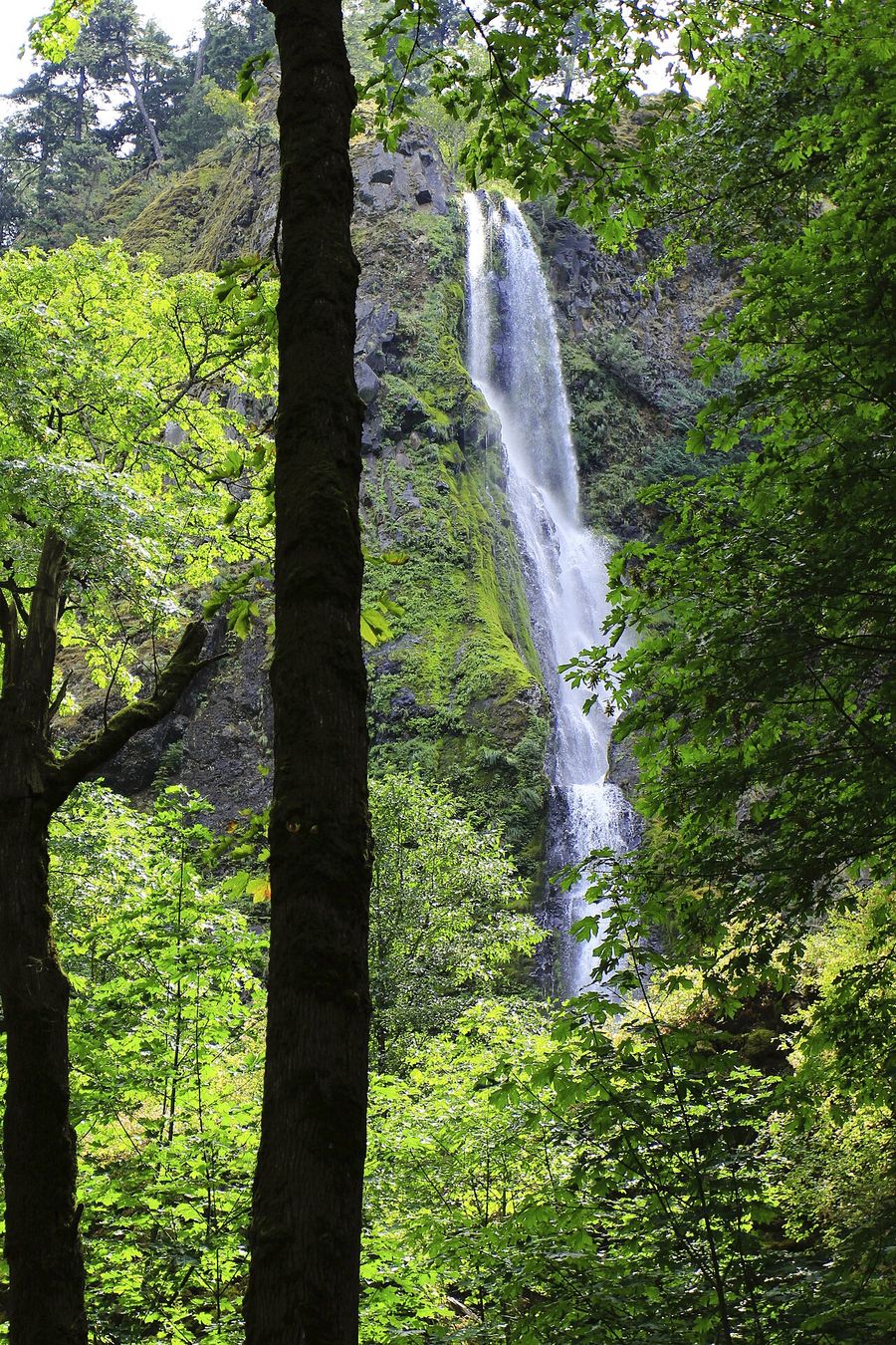
Latourell Falls drops 249 feet in a single plunge over a curved wall of basalt streaked yellow-green with lichen — it looks different from every other falls on this list because of that one unbroken drop. The five-minute walk to the base viewpoint covers most of what there is to see; save the full 2.1-mile loop for when you have time to spare.
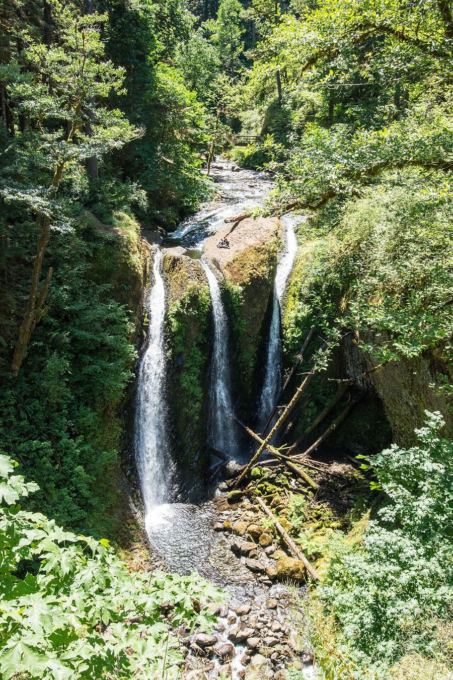
Oneonta Gorge is the one stop where the map has to correct the internet's memory of the place. The slot canyon you may have seen in older photos — people wading through a crack in the basalt to reach a hidden waterfall — has been closed since a massive logjam formed after the 2017 Eagle Creek Fire, and the Forest Service has said it doesn't plan to remove it. The upland Oneonta Trail around the closure is open and reaches Triple Falls about a mile in, which is the honest destination here now.
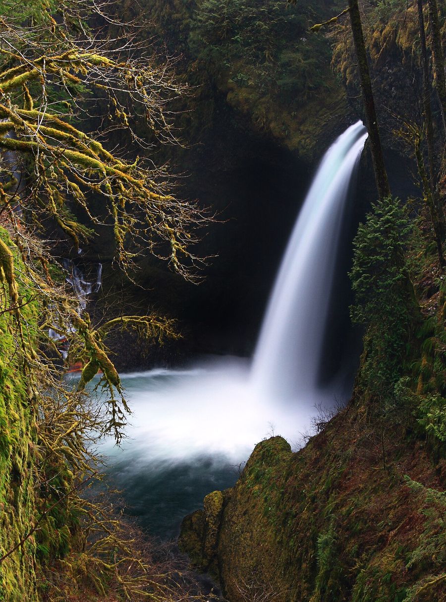
Eagle Creek Trail to Punch Bowl Falls has the same kind of caveat. This cliffside trail with cable handholds bolted into the rock has closed and reopened multiple times since 2017 — most recently for storm damage from this past January through May. Its status has flipped often enough in the last two winters that checking the Forest Service alert page the day you drive out, not the week before, is the only way to be sure.
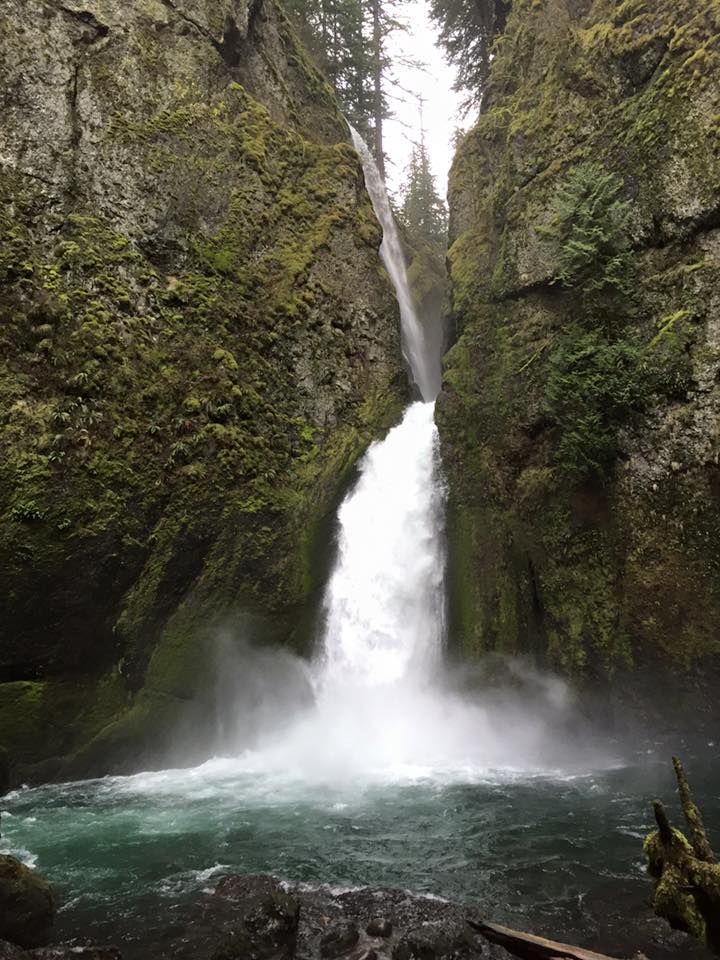
Wahclella Falls, at the end of Tanner Creek, is spring-fed enough that its flow barely changes between summer and winter, which makes it a reliable choice when other falls are running low. The Forest Service does flag the canyon itself for elevated flash-flood and falling-tree risk post-fire, so it's not a good pick during or right after heavy rain.
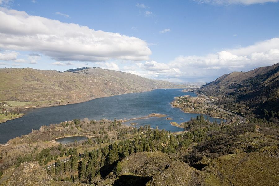
Rowena Crest, at the far east end, is worth the extra twenty minutes of driving even if you're tired by then. It's the spot where the gorge's climate flips — from Douglas fir and moss to oak savanna and bunchgrass — with a view down two horseshoe bends of the Columbia. Balsamroot and lupine bloom here in April and May.
Verify before you go
Trail and access conditions in this stretch of the gorge change more than most: Oneonta Gorge's slot canyon is closed to entry (not just discouraged — trespassing carries a real fine), and Eagle Creek Trail's open/closed status has changed multiple times over the past two winters due to fire recovery and storm damage. Multnomah Falls' timed-use permit dates and cost are also set annually. Check the USFS Columbia River Gorge recreation alerts before you drive out, and expect wet, mossy rock near every waterfall base regardless of season.


More from Maps